Remote Sensing Object Segmentation Dataset
Home » Case Study » Remote Sensing Object Segmentation Dataset
Project Overview:
Objective
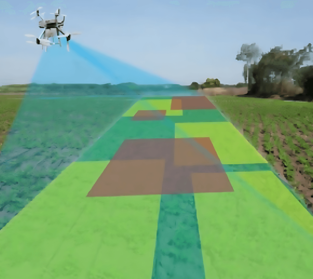
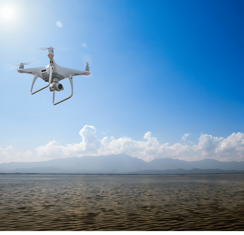
To establish a comprehensive dataset dedicated to the analysis of various objects in remote sensing images, the aim is to enhance growth in satellite imagery analysis, land cover, environmental monitoring, and urban planning.
Scope
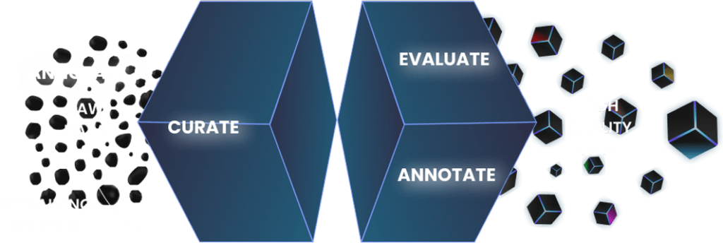
Curate an extensive array of satellite images effort diverse landscapes, including urban, rural, coastal, forest, and desert regions. By keeping a high level of detail and blend sophisticated comment techniques, this dataset accurately identifies and labels each object within the images.


Sources
- Collaborations with space agencies and satellite imaging companies.
- Utilization of open-source satellite imagery platforms.
- Procurement of functional images taking disaster zones, agricultural plots, and urban development.

Data Collection Metrics
- Total Satellite Images: 60,000
- Urban Scapes: 15,000
- Rural Regions: 12,000
- Coastal Zones: 10,000
- Forests: 10,000
- Deserts: 8,000
Annotation Process
Stages
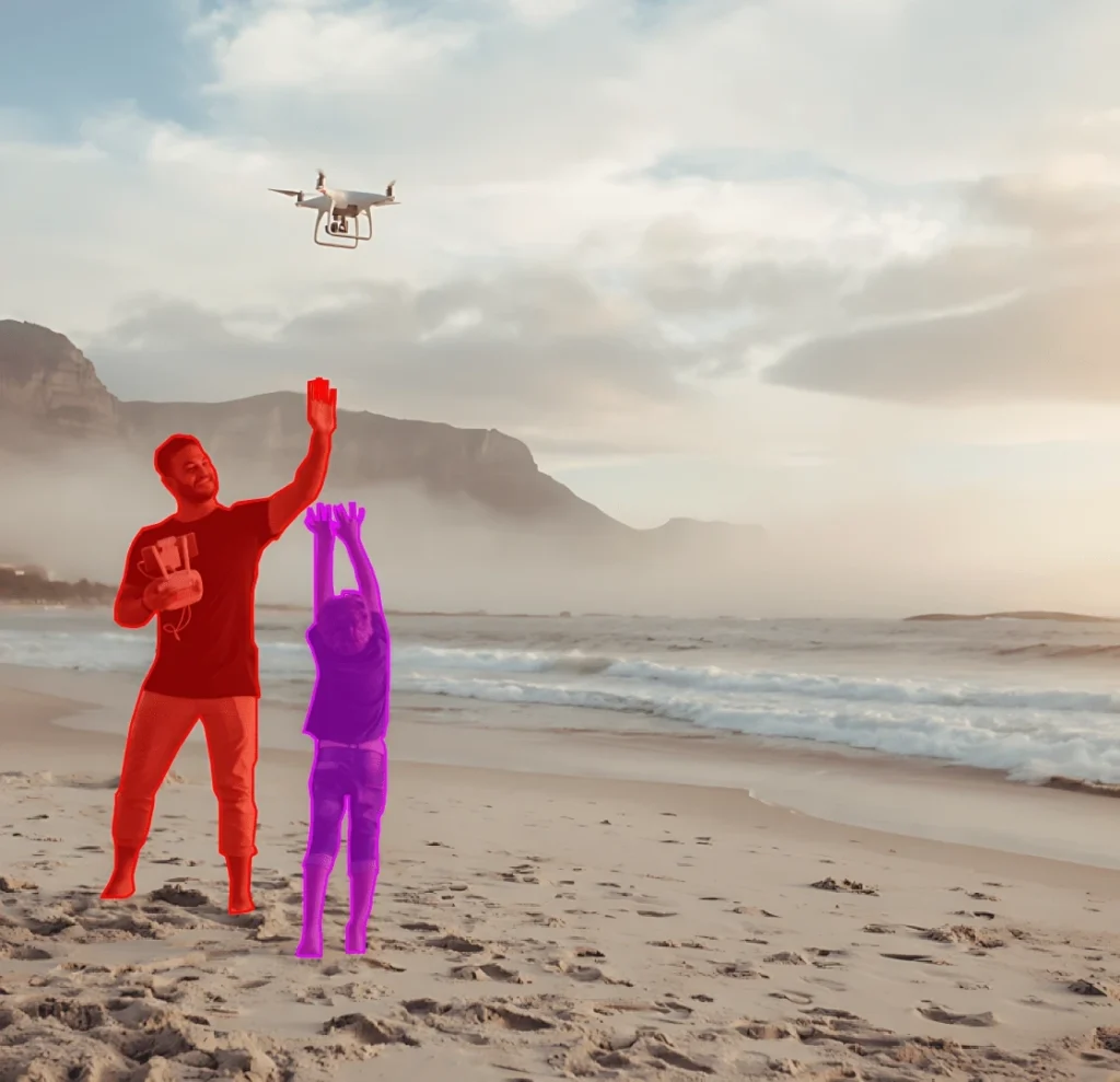
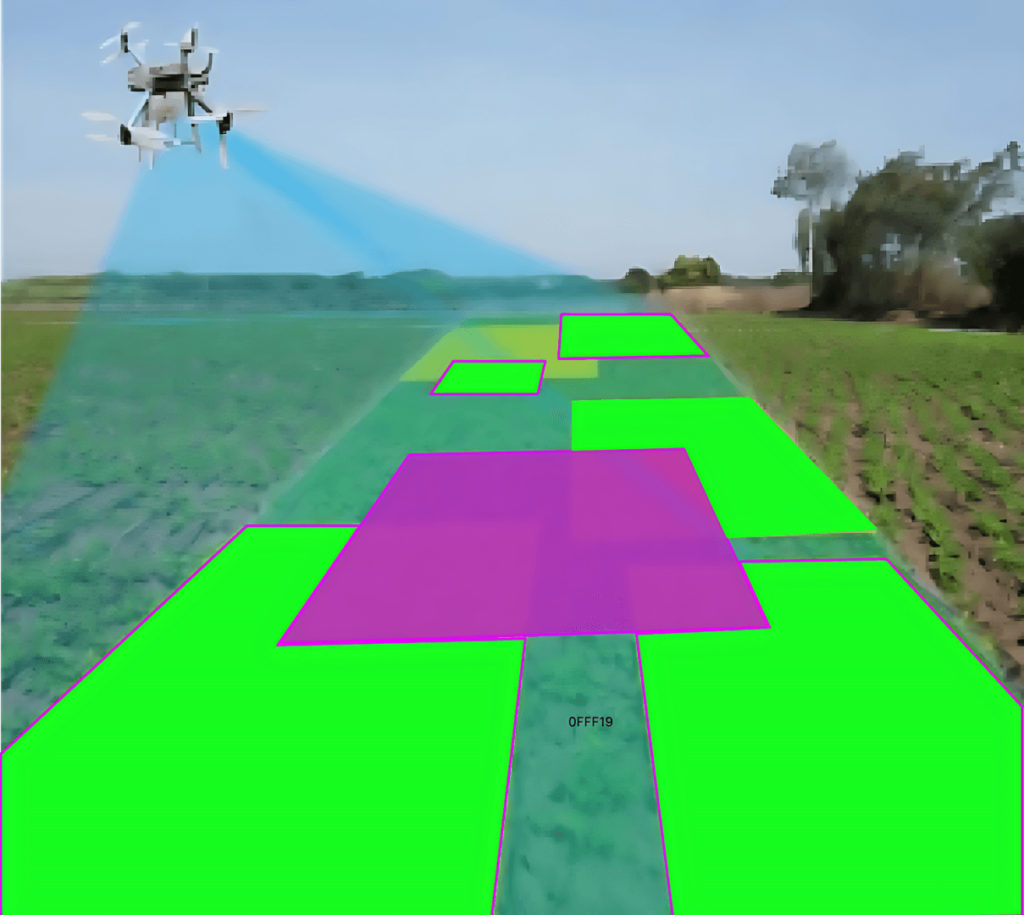
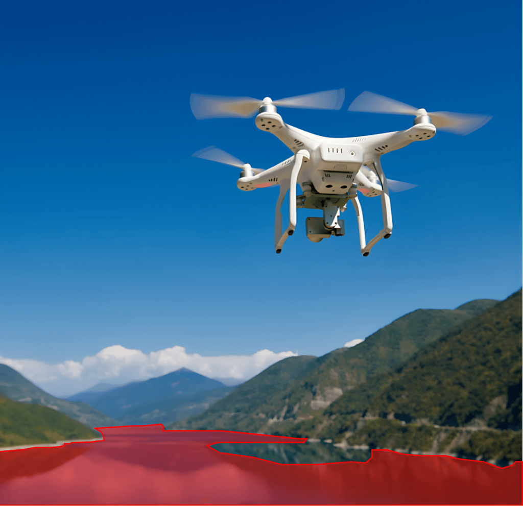
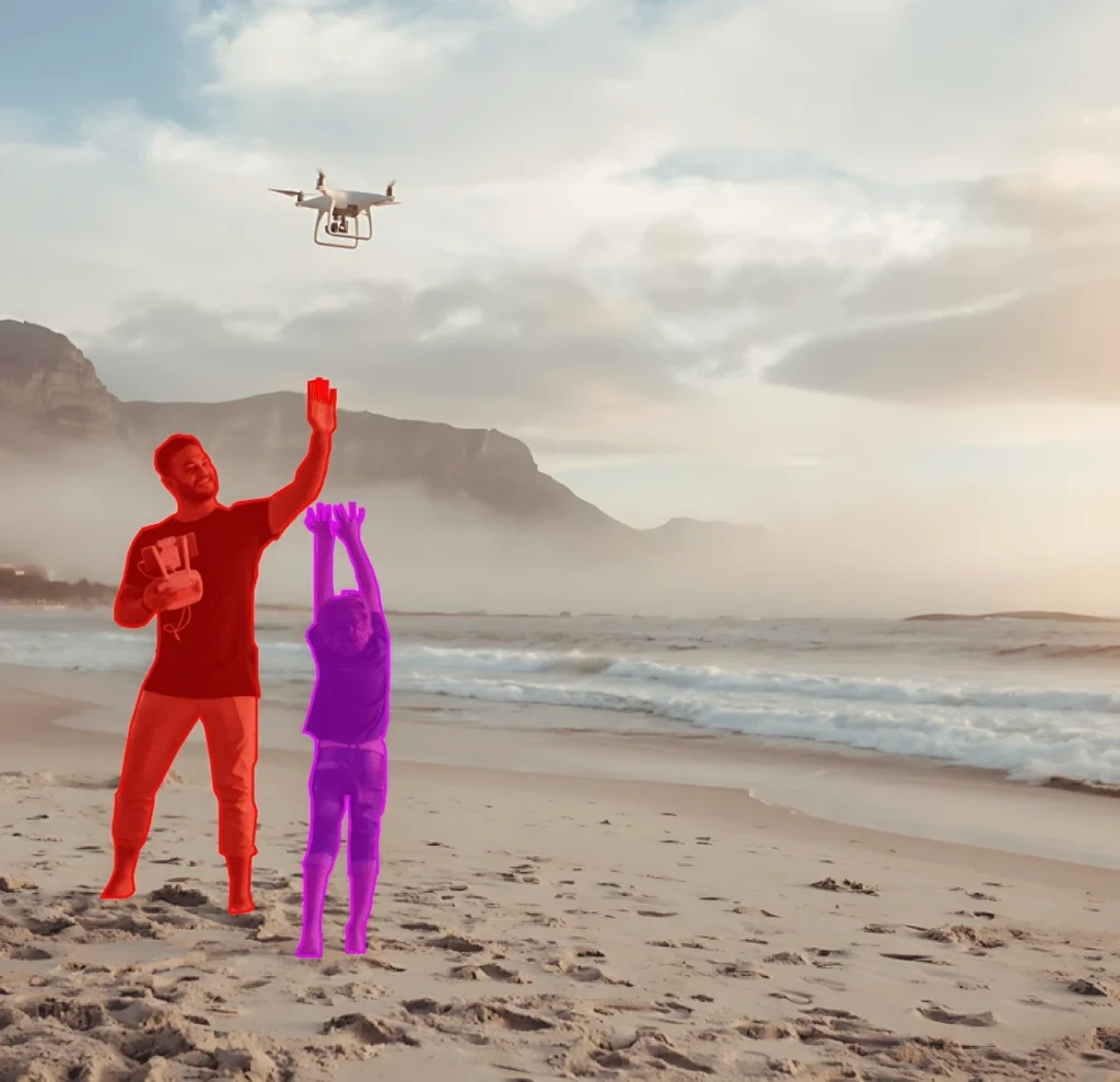
- Pixel-wise Segmentation: Annotators utilize specialized software to accurately mark every pixel associated with distinct objects.
- Validation: Annotations undergo acceptance by remote sensing experts and are tested on preliminary segmentation models.
Annotation Metrics
- Total Pixel-wise Annotations: 60,000 (one for each image).
- The average annotation time per image is 25 minutes the complex and varied nature of the content.

Quality Assurance
Stages
Automated Model Evaluation: Use preliminary segmentation models to compare their results with human annotations, identifying potential mismatches.
Expert Review: Every segmented image is scrutinized by remote sensing specialists for validation.
Inter-annotator Agreement: Some images are annotated by multiple individuals to ensure standardization in the segmentation process.
QA Metrics
- Annotations validated using segmentation models: 30,000 (50% of total images)
- Expert-reviewed annotations: 20,000 (33% of total images)
- Inconsistencies identified and rectified: 2,400 (4% of total images)
Conclusion
The Remote Sensing Object Segmentation Dataset stands as a landmark contribution to the realm of geospatial analytics and environmental monitoring. By offering meticulously segmented high-resolution images from diverse terrains, the dataset promises to be a cornerstone for breakthroughs in satellite imagery analysis, aiding endeavors ranging from urban planning to environmental conservation.

Quality Data Creation

Guaranteed TAT

ISO 9001:2015, ISO/IEC 27001:2013 Certified

HIPAA Compliance

GDPR Compliance

Compliance and Security
Let's Discuss your Data collection Requirement With Us
To get a detailed estimation of requirements please reach us.